.....
Loaded
Home
Stories
Portfolio
Contact
Menu
Recent Posts
Zpacks Duplex Test
March 24, 2017
CT Day 0 – Waterton Canyon to Rock Quarry
June 21, 2017
CT Day 0 – Rock Quarry to Waterton Canyon
June 22, 2017
CT Day 1 – S. Platte to FR545
July 9, 2017
CT Day 2 – Spruce Grove
July 9, 2017
Archives
July 2018
August 2017
July 2017
June 2017
May 2017
March 2017
Search
Blog
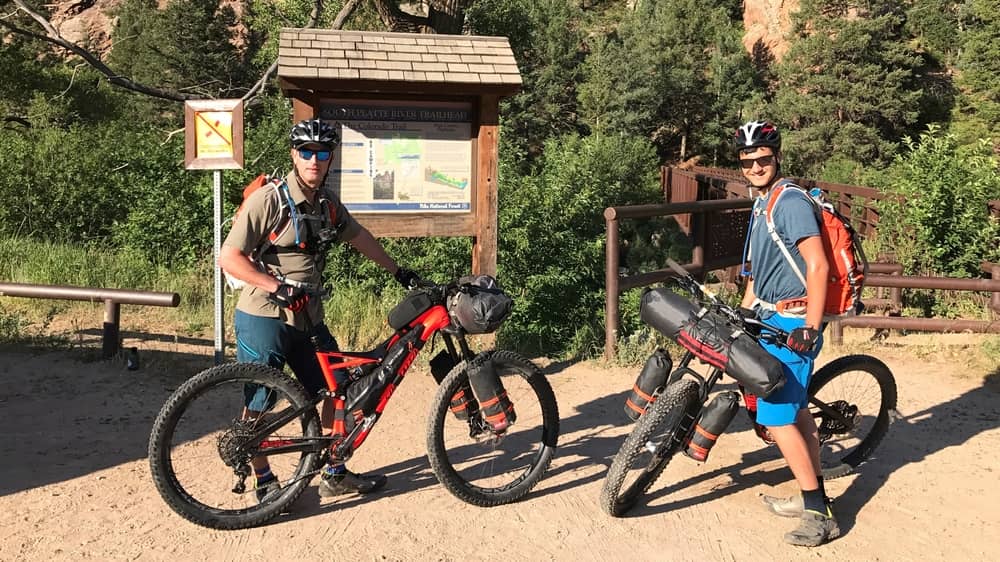
CT Day 1 – S. Platte to FR545
9 July 2017
bikepack
Read More
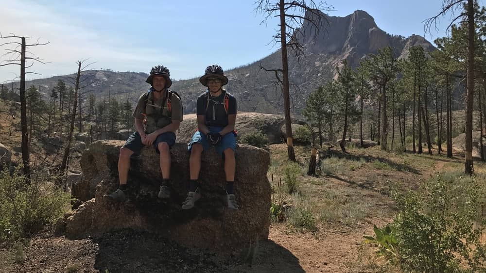
CT Day 2 – Spruce Grove
9 July 2017
bikepack
Read More
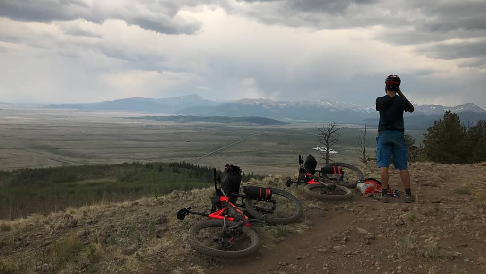
CT Day 3 – Kenosha Pass
10 July 2017
bikepack
Read More
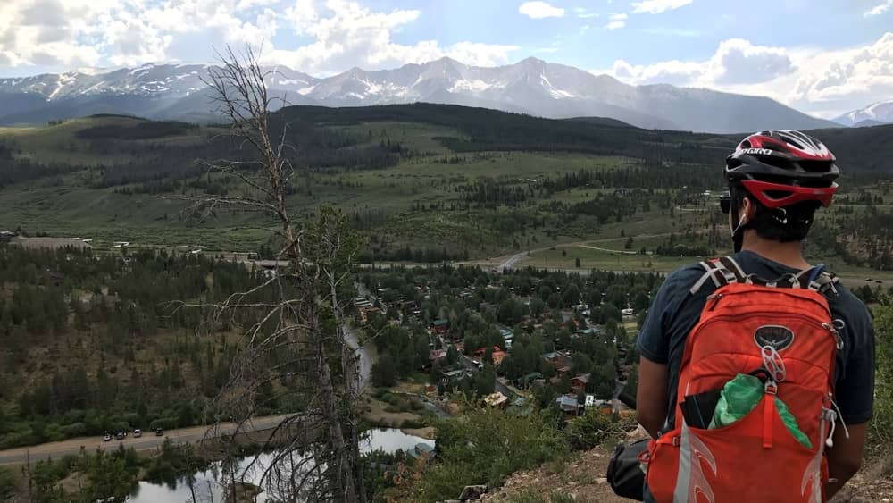
CT Day 4 – Breckenridge
10 July 2017
bikepack
Read More
CT Day 5 – Searle Pass
14 July 2017
bikepack
Read More
CT Day 6 – Leadville
14 July 2017
bikepack
Read More
CT Day 7 – Buena Vista
15 July 2017
bikepack
Read More
CT Day 8 – Mt. Shavano
20 July 2017
bikepack
Read More
CT Day 9 – Marshall Pass
21 July 2017
bikepack
Read More
CT Day 10 – Sargents Mesa
21 July 2017
bikepack
hike
Read More
CT Day 11 – Gunnison
21 July 2017
bikepack
Read More
CT Day 12 – Carson Saddle
24 July 2017
bikepack
Read More
CT Day 13 – Silverton
25 July 2017
bikepack
Read More
CT Day 14 – Hermosa Peak
30 July 2017
bikepack
Read More
CT Day 15 – Indian Trail Ridge
31 July 2017
bikepack
Read More